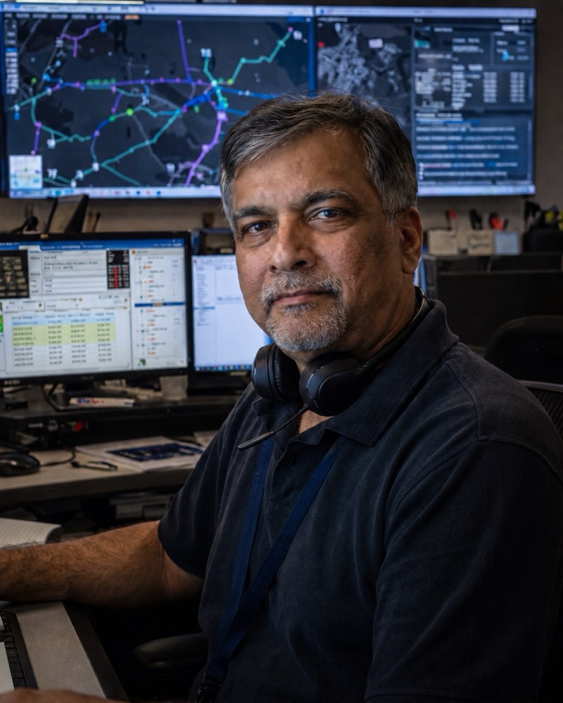
Dispatch started the night with eleven crews and a dark map. By 05:00 they had a route.
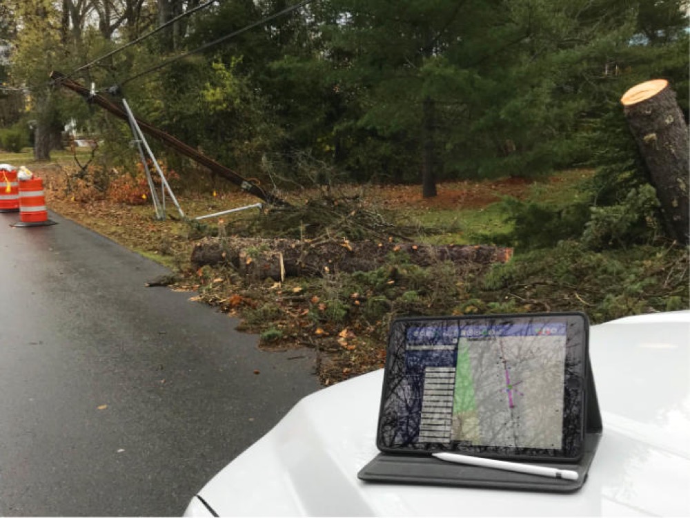
A Maine utility's dispatchers now see what the field sees. Storm mornings no longer run off a whiteboard.
See the Storm Response workbench →
Cliffhanger Solutions
Get a Demo
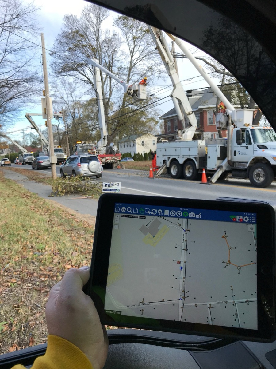
Logos is the operational intelligence platform for electric, gas, and water utilities. It connects the GIS, outage, field, and work systems you already run into one picture, so your people stop juggling four screens to answer one question.
Utility work runs across multiple systems that were never designed to share. Logos sits above them and keeps one picture current for everyone: crews, dispatch, and the office.
Unify what you already run. Search it in milliseconds. Operate on one picture.
Logos layers above the GIS, outage, and work systems you already own. They keep their jobs and their data.
Your systems stay authoritative. Logos indexes them in place, so there is no parallel copy drifting out of date.
Weeks if the integrations are heavy. Either way there's no migration project in front of it and no contractor army around it.
Start small, measure against a day-one baseline, and expand only when the first workflow has proven itself.
Work orders, forms, and photo evidence on the device already in the crew's truck. When the record is wrong, the correction starts in the field.
Incidents, crews, and restoration progress in one live picture, with the network context dispatch usually has to reconstruct over the radio.
Field-reported changes reviewed next to the system record, then written back to Smallworld or Esri under approval. Editing authority stays where it already is.
Trim cycles, evidence, and contractor work on one record that holds up in an audit.
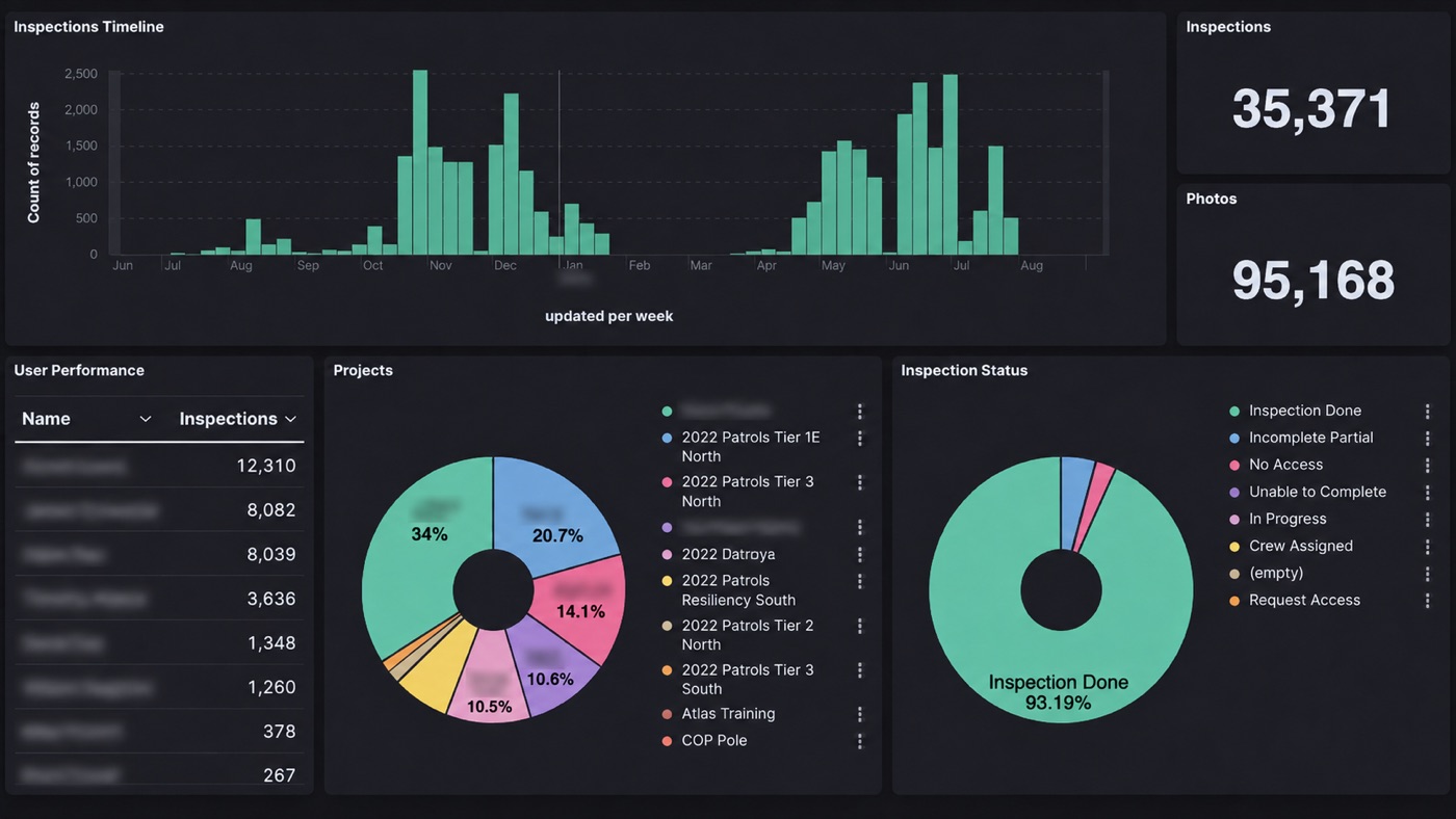
Aging work, restoration trends, and compliance state, built from the same events the other workbenches produce.
Pole owners, attaching companies, and regulators working the same pole, from permits to make-ready to transfers, without seeing each other's data.
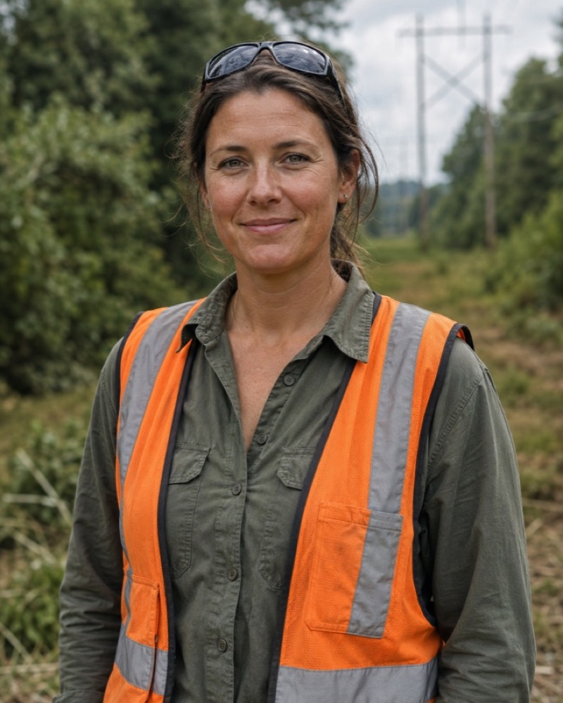
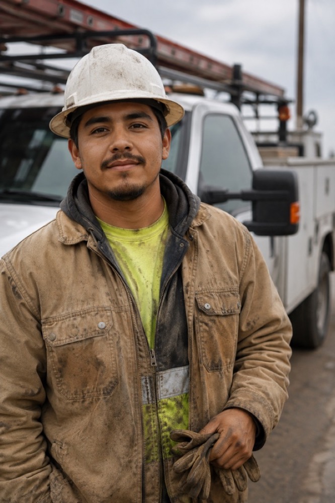
Composite portraits from real deployments in Maine, Arizona, and Nevada. Names changed. The work is real.
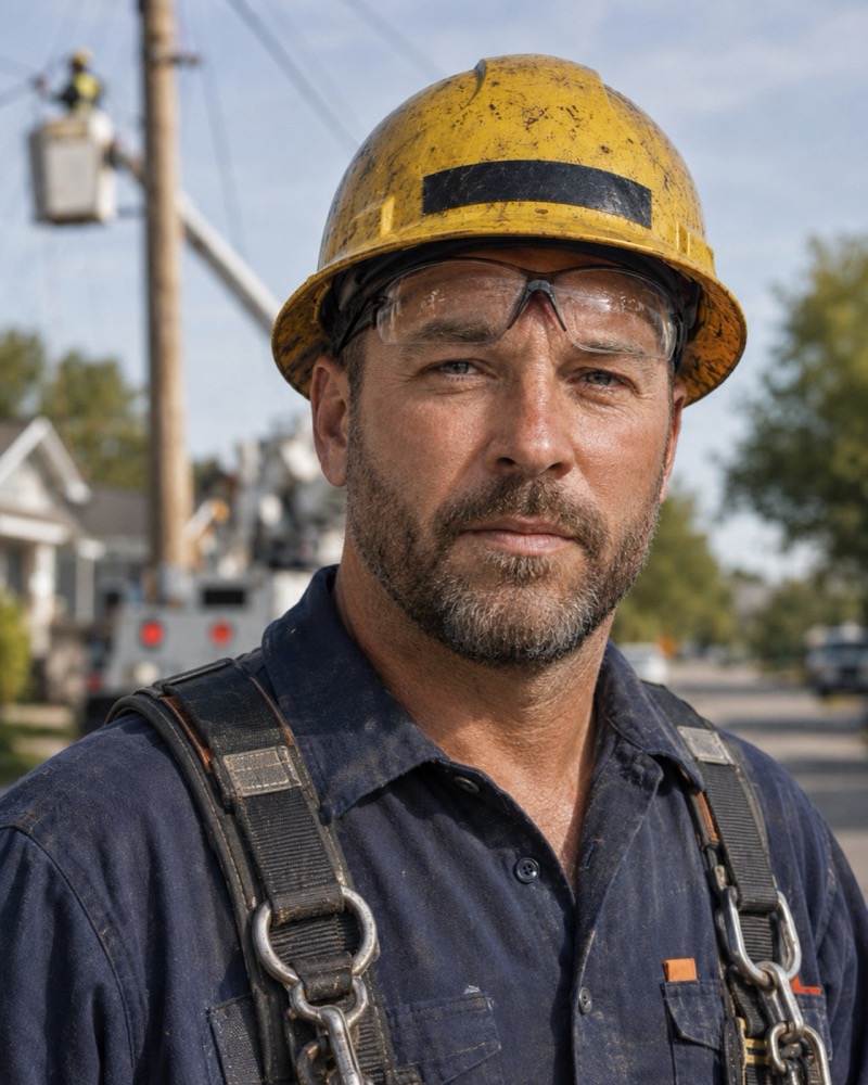
A Maine utility's dispatchers now see what the field sees. Storm mornings no longer run off a whiteboard.
See the Storm Response workbench →
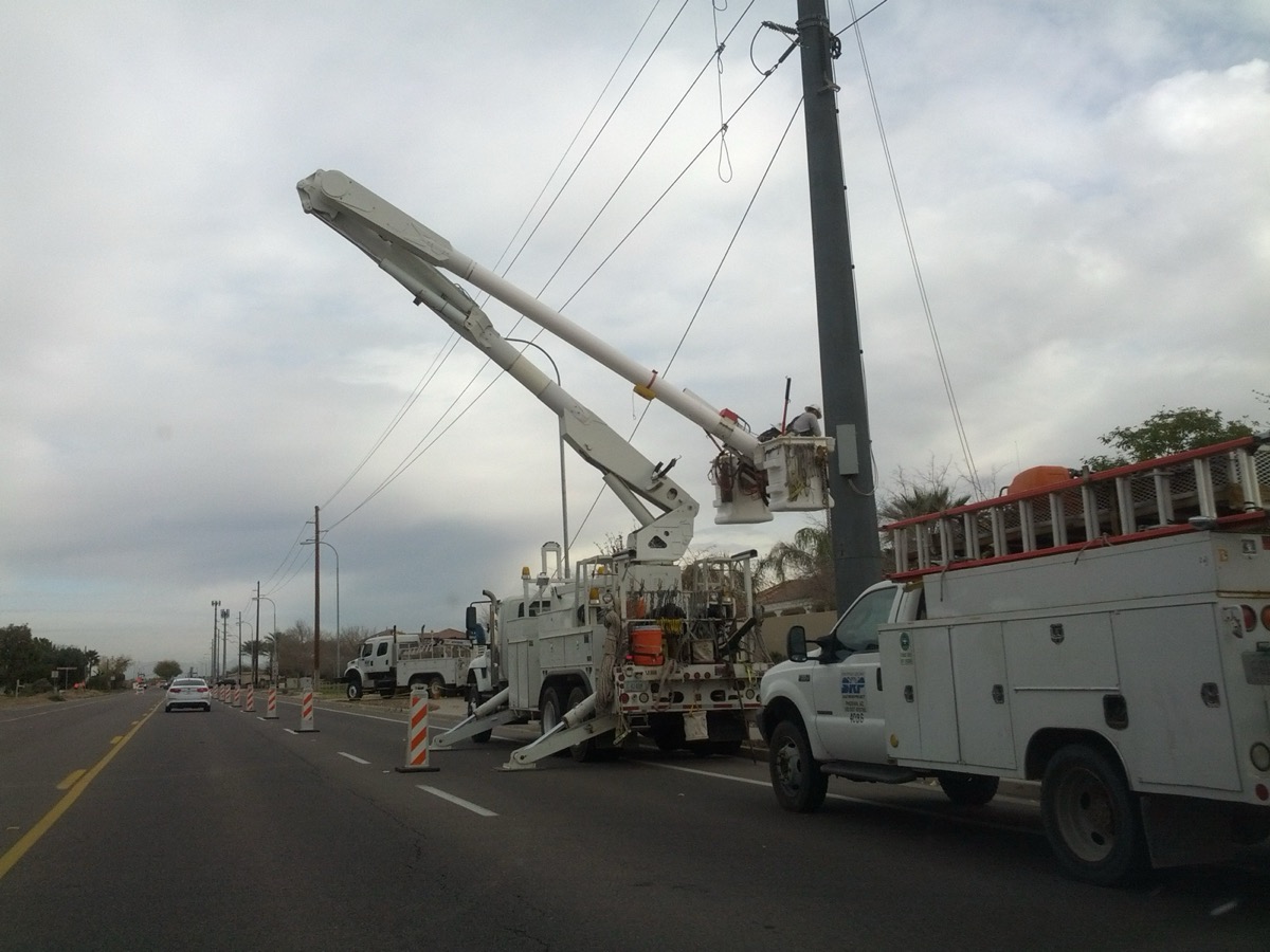
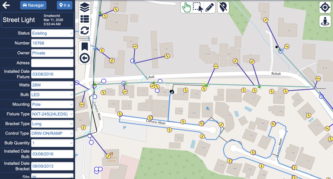
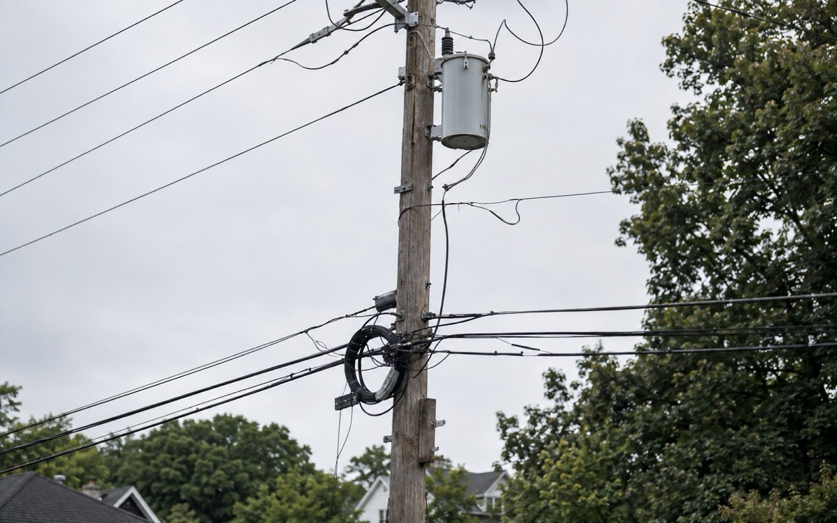
The GIS had a transformer wrong for decades. An inspector with a phone caught it, and the office trusted the correction within a shift.
See the Network Governance workbench →
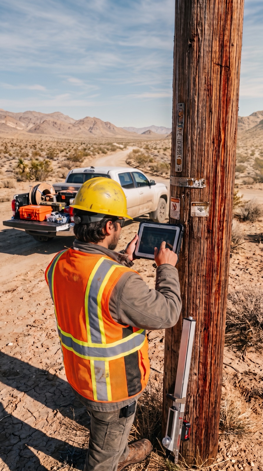
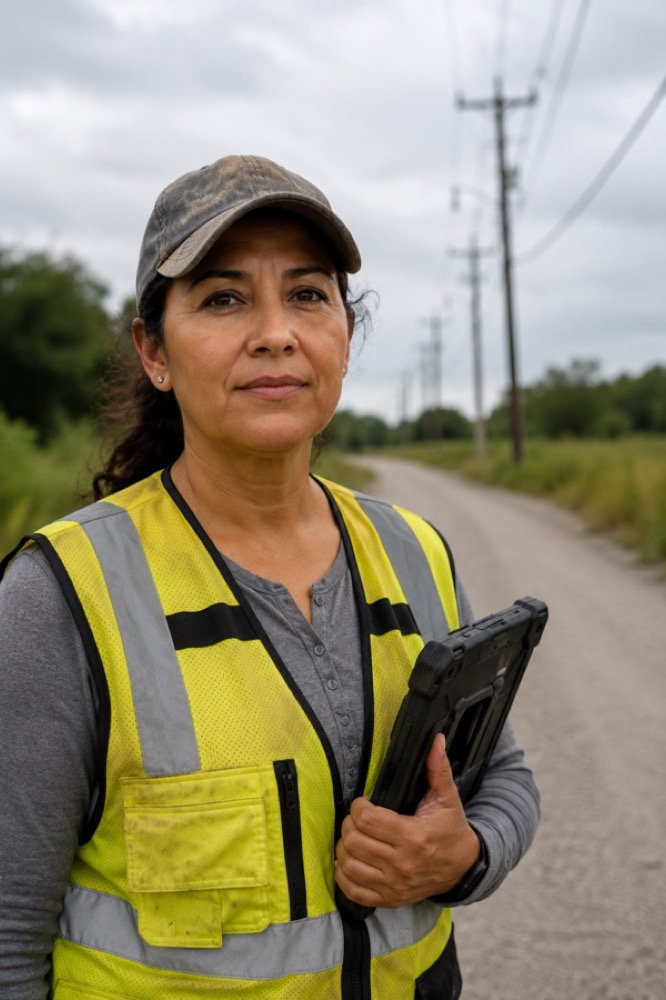
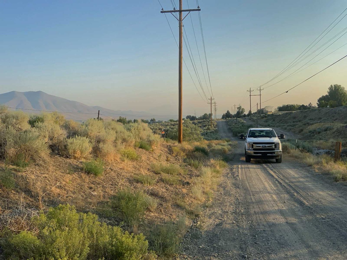
A field-services partner walked the high desert photographing poles. AI read every image, and the utility got inspection records it could stand behind, pole by pole.
See the Field Ops workbench →
The platform sits underneath all of it. Whether the question comes from a truck, the dispatch floor, or an API call, the answer comes from the same data.
Work orders, forms, evidence, tracing. Offline-capable, built for one hand, bad weather, and a deadline.
Built around incidents: crew status, work queue, restoration flow.
Field evidence next to the system record, with the approval workflow behind it.
Reads and writes both Smallworld and Esri. Both stay the system of record.
Lights down, signal up. The version of the product nobody plans to use.
The same data, asked in natural language. Answers in milliseconds.
One contract for the systems you already trust, opened one workflow at a time as each is proven.
SAP and Design Manager: work flows in, evidence flows back.
We'll start it bounded: one workflow, one district or circuit, one crew program. Your data and your systems, a baseline captured on day one, and gains you can measure in weeks or months. Not years.