Always needed map rotation or wanted offline databases to be generated based on a specific schedule? Wait no longer. Atlas 2.14.0 has been released and rolled out! It contains the following changes:
- Ability to perform bulk updates to a group of objects
- Add documentation for Atlas online help
- Ability to add/delete/show joined records
- Automated scheduled tasks: network model builds, database extracts for offline mode, etc.
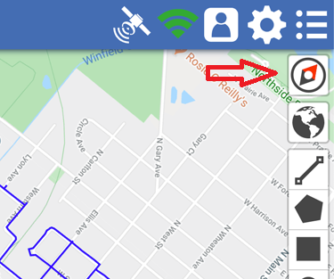
- Map rotation in navigation mode

- Work assignments are now shown in notification panel
- Option to add signature(s) to form(s)
- Tracing now supports multiple different network types
- Support for plot and report generation
- Users can now be organized in groups (business units) with their own admins
- Improved app startup time, performance and UI transitions
- Improved search usability
- Migrate layers to support offline mode and custom styles
- Moved map-related icons to map and make space for global search bar
- Support for PowerOn stylesheets
- Readonly fields are now searchable
- Support for generating reports and map plots
- Support for multiple lines of text for map text labels
- Vector support for “My” data layers, which adds support for offline mode and custom styles
- Work orders can be re-assigned to another user
- Simplify viewing of Audit trails
- Display four map modes in the map: select, pan/click, draw, measure
- Faster network speeds with data compression and upgraded network protocol
- Photos are now shown inline in forms
- Improved small screen support (minimum iPhone5: 568×300)
- Add map preference show lat/long in degrees/minutes/seconds
- Add map preference show sunrise and sunset
- Add option to login using the Enter key rather than just clicking the login button
- Fix: two-step authentication (2FA)
- Fix: WMS maps for proper Mercator projection