 Cliffhanger Solutions
Get a Demo
Cliffhanger Solutions
Get a Demo
From the archive: republished from the original Cliffhanger blog, April 2015. Lightly reformatted; the words are as they were.
Using electronic devices while driving can be very distracting. To accommodate our field users better, we implemented a “hands-free” mode. This is how it works: First, you (the user) turns on GPS track mode. This will continuously keep the map centered at your current location, much like many navigation systems. Then, when distraction free search is enabled, the map automatically shows objects within a short radius of your current location and continues to do so while you are on the move. When you stop, all relevant information is already available to you without having to select any menus or clicking any buttons.
The image above is a screenshot of the hands-free mode during a field test. As you can see for this test we picked one of our more exotic client locations :-) We expected good performance from our Atlas spatial search engine, and the results were even better than expected. There was virtually no lag or latency. At higher moving speeds we expect that you are less interested in objects behind you than in front of you. So, in the next software update, we’ll enhance this feature with a speed dependent “look ahead.”
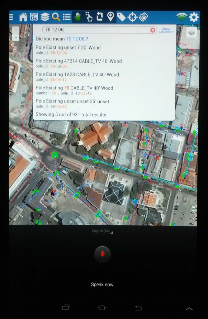
But wait, there’s more. If you need to search for objects we’ve got you covered as well. Simply initiate a search and speak the search term to the app. See screenshot below. Search results will dynamically update as you refine your search terms.